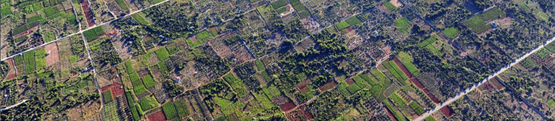
The Stari Grad Plain on the Island of Hvar is a landscape on which Greek parcelization from the fourth century BC has remained intact until today. Located between the settlements Stari Grad and Vrboska, it covers an area of 1376 hectares and is therefore the largest fertile plain of all located on the Adriatic islands. The plain consists of lots called “strigas”. Each striga covers an area of 1 x 5 stages, which is 180 meters x 900 meters. The site itself is rich in archaeological finds. There are about 120 of them registered. In the northern part of Stari Grad Plain there is a Greek tower in the position of Maslinovnik. Most of the finds date from Roman times when Stari Grad (Faros) became Roman Faria, and the plain was named Ager Pharensis. At that time, many countryside villas (villa rustica) were built in the plain, the most famous of which is Kupinovik. Greek colonists from the island of Paros are thought to have colonized Stari Grad in the fourth century BC. With the Greeks, the agricultural area adjacent to the city is under the administration of the city and is divided into plots. This is exactly what happened to the Stari Grad Plain. It has long been thought that this was a Roman division of land. It was not until the 20th century that the size of the parcels was found to be inconsistent with Roman parcels. Since 2008, it has been on the UNESCO World Heritage List. There are three items that make the Stari Grad Plain internationally recognized: the way the Stari Grad Plain is divided testifies to the spread of the Greek geometric model of agricultural land division in the Mediterranean area. Furthermore, the plain has been used as an agricultural area for 2400 years and has been cultivated for the same species, which justifies the continuity and durability of the field function over the centuries. Also, the plain is an example of an old traditional landscape that is endangered by today's modern way of life and cultivation.
Useful links: